Menu
Info
Menu
Panel
Nasze
produkty
Fototapety, tapety artystyczne
Okleiny na fronty, meble
Rolety okienne, Fotorolety
Panele szklane, szkło z grafiką
Naklejki na meble IKEA
Folie okienne z grafiką
Folie Przeciwsłoneczne i Antywłamaniowe
Tła Fotograficzne
Zdjęcia
realizacji
Oferta dla Biur
i Przedszkoli
Folie na szyby _dekoracyjne do przedszkoli i firm
Folie Przeciwsłoneczne i Antywłamaniowe
Dekoracje do przedszkoli, żłobków, szkół
Kompleksowa aranżacja biur i firm
Projektowanie wnętrz
Folie z atestami
przeciwsłoneczne
Opis Folii przeciwsłonecznych i antywłamaniowych
Pytania i odpowiedzi
Specyfikacja folii przeciwsłonecznych
Specyfikacja folii antywłamaniowych
Specyfikacja_folie szronione i matowe
Instrukcja montażu_folia p/słoneczna
Kontakt
Mój panel
Zaloguj
Zarejestruj się
Moje zdjęcia
Moje pokoje
Moje ulubione
Wersja językowa
PL - polska
EN - english
PLN
Wybierz walutę
PLN - polski złoty
$ - dolar amerykański
EURO - Euro
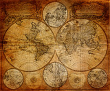
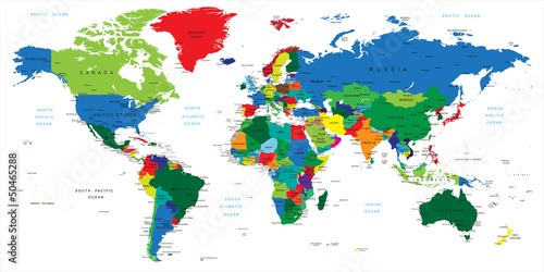
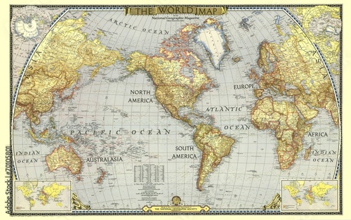
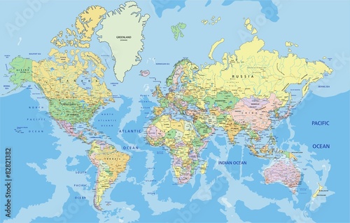
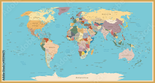
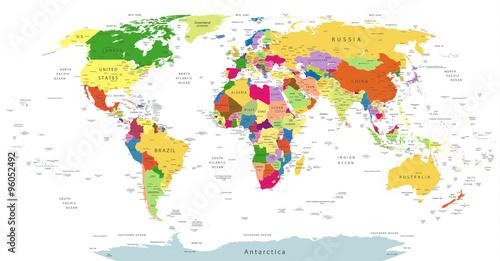
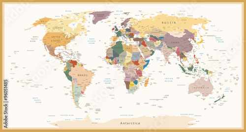
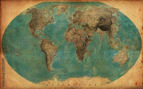
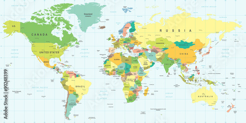
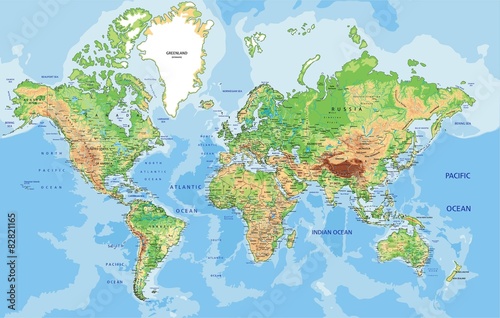
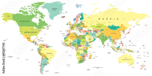
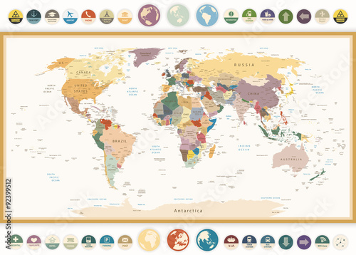
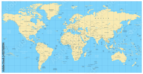
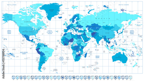
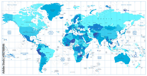
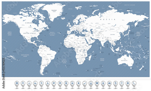
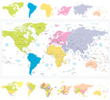
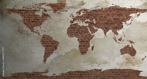
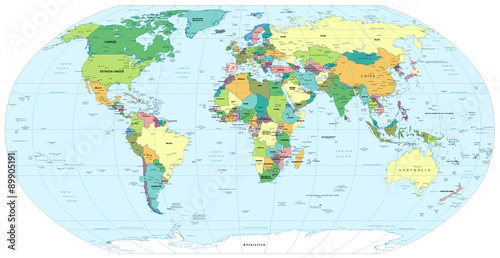
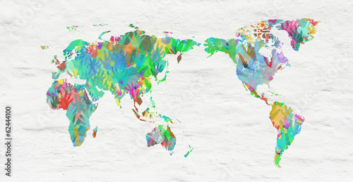
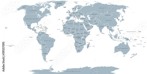
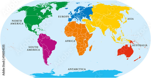
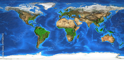
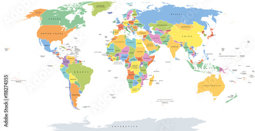
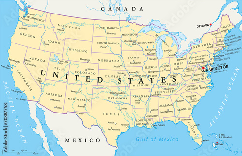
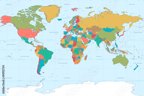
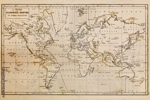
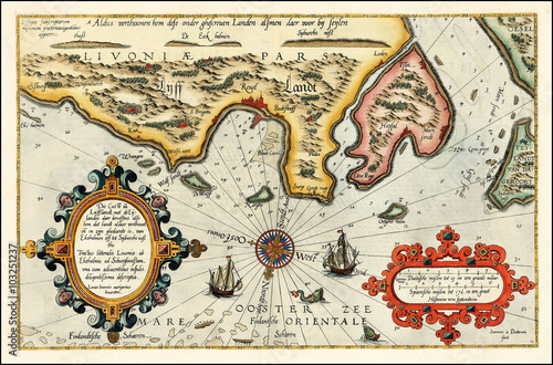
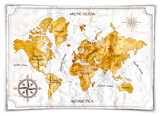
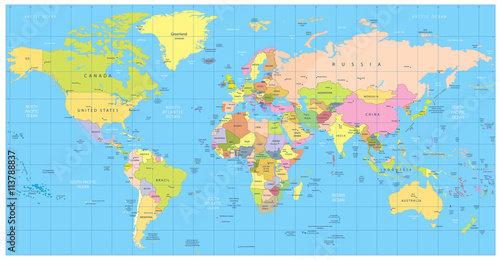
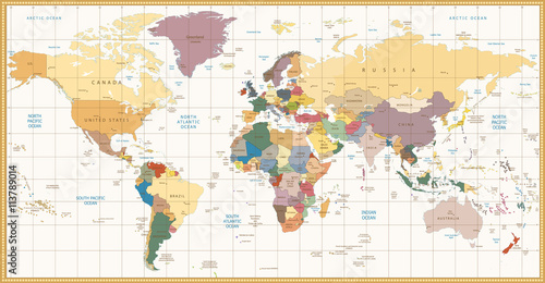
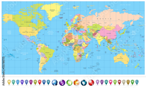
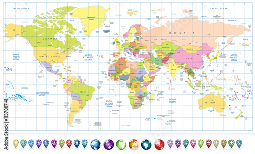
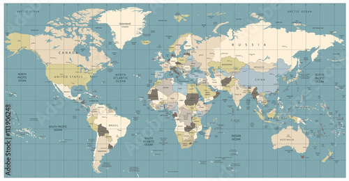
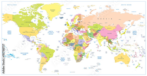
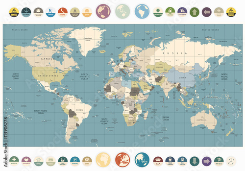
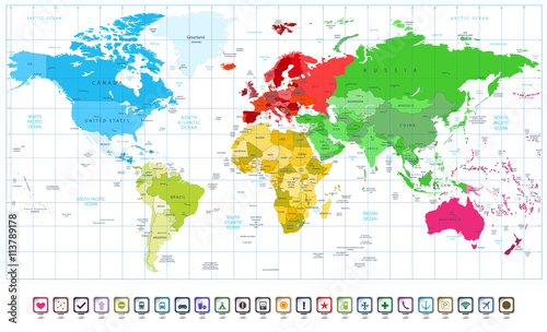
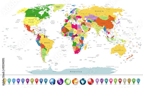
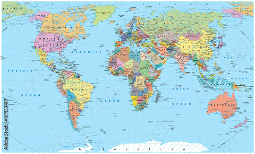
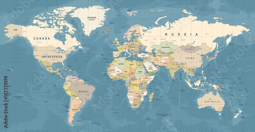
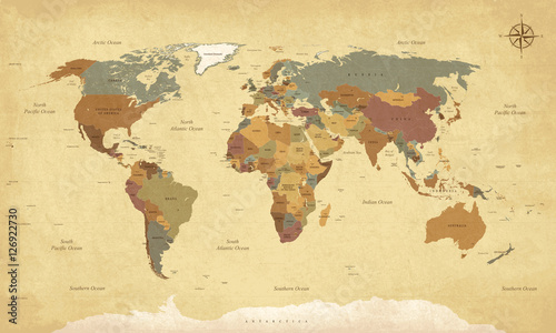
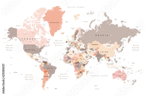
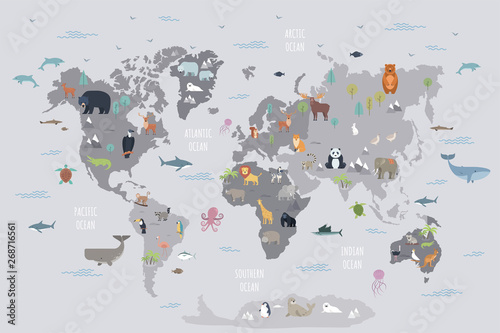
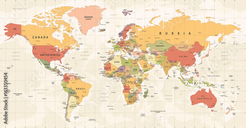
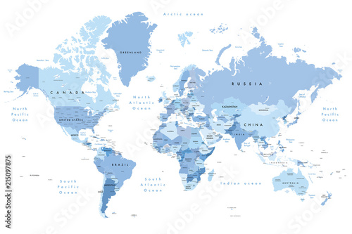
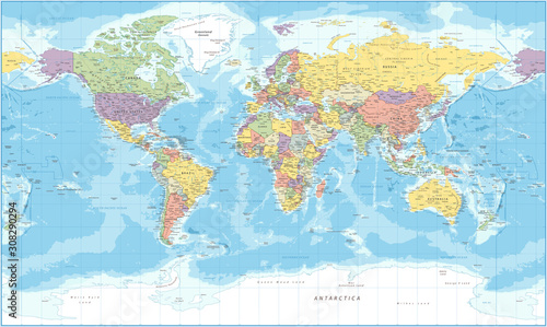
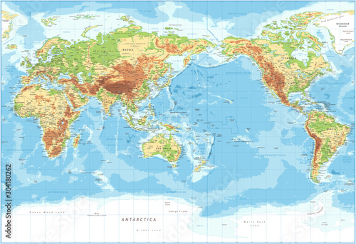
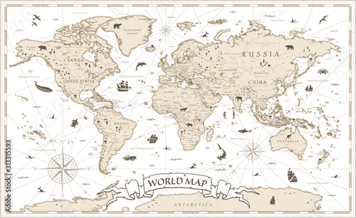
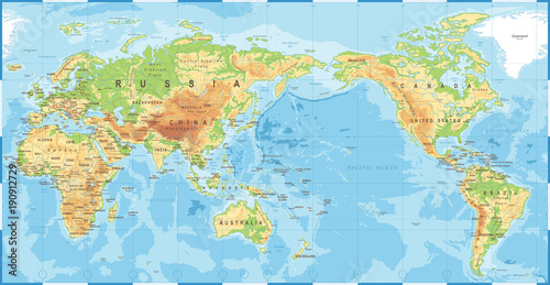
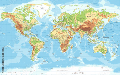
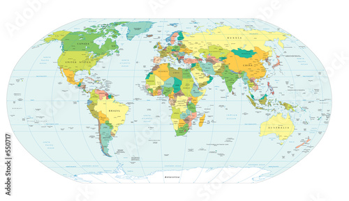
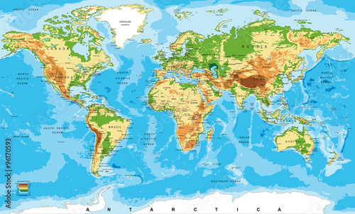
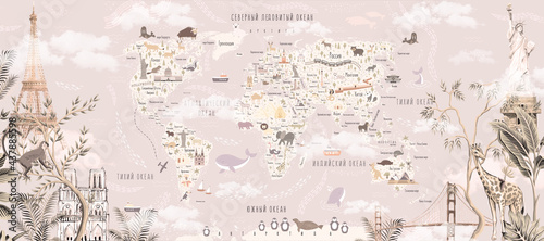
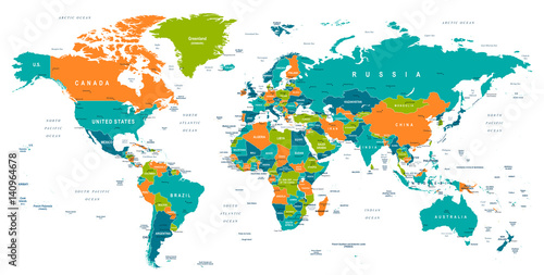
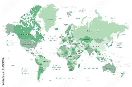
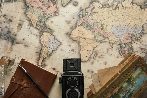
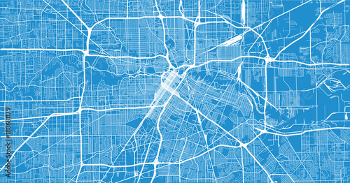
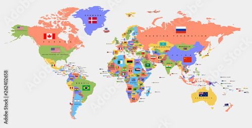
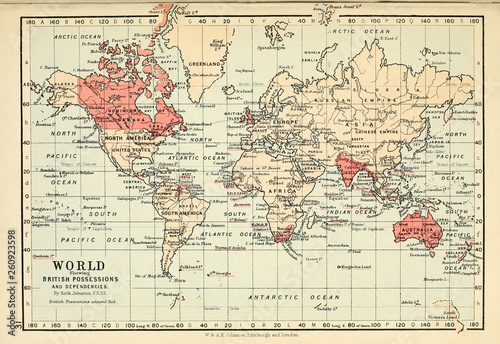
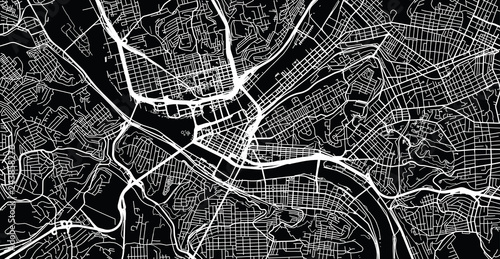
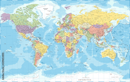
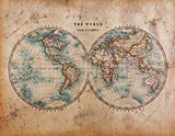
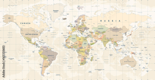
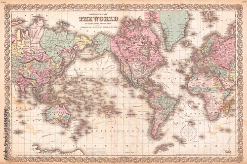
Tapety artystyczne
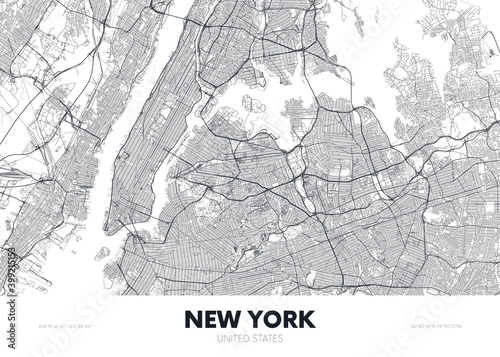
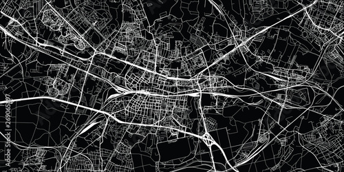
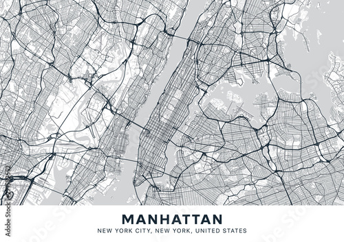
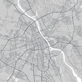
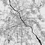
/ Mapy
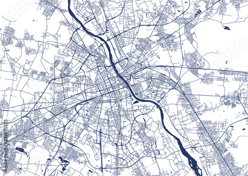
Mapy_ Warszawa
Tapety z motywem mapy Warszawy, Mapa Warszawy na tapecie
Mapy _ Kraków
Mapy_ Wrocław
Mapy _ Nowy York
Szukaj zdjęcia po nazwie
Wpisz czego szukasz
Układ zdjęcia
dowolny
kwadrat
pionowy
poziomy
Typ
dowolny
zdjęcia
grafiki
wektory
Inne filtry
panorama
wyodrębnione tło
Kolor zdjęcia
kliknij...
Filtruj wyniki
1
2
›
1
2
›